Regional loop
Savannah Way
Cairns to Broome through the tropical savannah — a dry-season-only crossing with real distances between fuel.
- Distance
- ~3,700 km
- Typical duration
- 4–6 weeks
- Best season
- May–September (dry season only)
- Vehicle
- High-clearance 4WD recommended
The route
The Savannah Way runs from Cairns in Far North Queensland to Broome in Western Australia's Kimberley, cutting across the Gulf Country and the Top End rather than following the coast. It's one continuous strip of genuinely remote Australia — savannah woodland, gorge country and long stretches without services.
Dry season only, no exceptions
Large sections of the Savannah Way are unsealed and become impassable in the wet season (November–April), with some sections closed by local authorities entirely. Plan this crossing for May–September and check current road conditions with the relevant shire councils before departure — conditions can still change fast even within the dry season after late rain.
Fuel and water planning
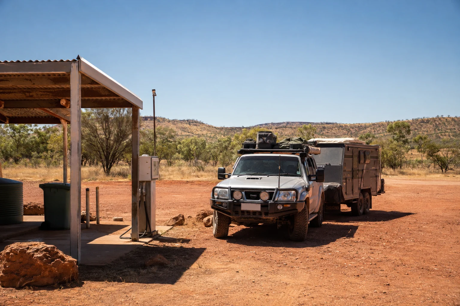
Some stretches genuinely run 200–300 km between fuel — know your tank range before committing to a day's driving, and carry extra water beyond what you think you'll need. See On the Road for fuel planning basics.
Highlights along the way
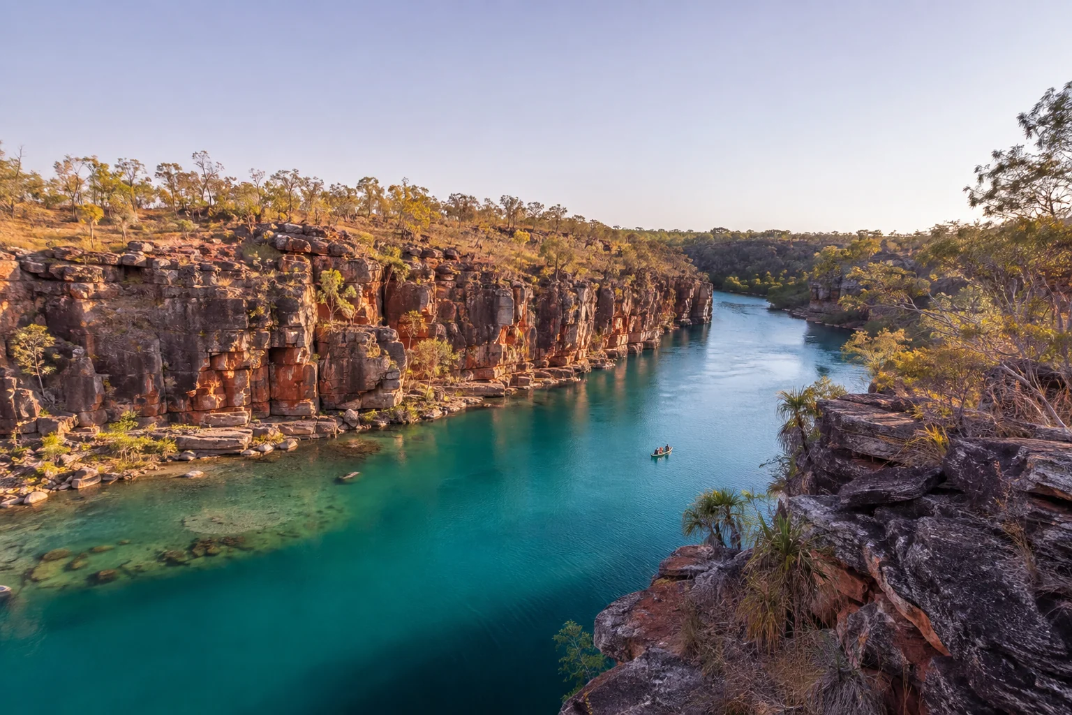
Undara Volcanic National Park's lava tubes, the barramundi fishing around Normanton and Karumba, and Boodjamulla (Lawn Hill) National Park's turquoise gorge are among the most-mentioned stops on this crossing.
Rig and towing considerations
This is not a route to attempt in a standard-height caravan — corrugations, creek crossings and long unsealed stretches genuinely favour a camper trailer or an off-road-rated caravan behind a proper 4WD. Reduce tyre pressure for the unsealed sections, carry at least one full-size spare (two is safer on the more remote legs), and check your insurer covers unsealed remote-road travel before you go — see Rigs & Gear for the broader setup advice.
Timing it within the dry season
Early dry season (May–June) still has some residual moisture from the wet, which can mean fewer dust problems but occasional lingering closures on the wetter sections; late dry season (August–September) is drier and dustier but more reliably open throughout. Neither is wrong, but check current shire road reports close to your departure date regardless of which end of the season you're travelling in.
This is one of the routes where a Route Season-Check earns its cost fastest — getting the timing wrong here means a genuinely long detour, not a minor inconvenience. See Services & Pricing for the full list.
Mobile coverage along the way
Signal is patchy to non-existent for long stretches of this crossing — download offline maps before you leave Cairns or Broome, and don't rely on real-time navigation once you're between the two. A satellite messenger or PLB is worth carrying here specifically; see Health & Safety for the full case for one.
Free account, real perks
Save this crossing to your free account and plan your dry-season window
- Save routes, camps and gear notes — pick them back up from any device
- 10% off every paid planning service on this site
- A free Route Season-Check (normally AU$59) the first time you save a route